October 2018
The summer camping crush is over, so it's time to go off on more adventures while the weather is still good. Although we have driven over Pacheco Pass hundreds of times, we have never stopped at the
Romero Overlook Visitor Center on the
San Luis Reservoir before. Much to our surprise, it's actually a very interesting place with informative displays about California's water system. Plus it affords spectacular views of the reservoir itself. Just outside the Visitor Center is a memorial marker dedicated to Tim Crawford and Martin Alvarado who both lost their lives while conducting an underwater inspection of the pumping station.
 |
| Nice to see healthy water levels again |
|
 |
| Memorial |
|
|
 |
| Expansive views from the Visitor Center |
|
|
|
Later while driving north on Hwy 15 just before the Nevada border, we pass the
Ivanpah Solar Power Facility. This solar project has always fascinated me because it uses a technology different than the usual large arrays of solar collector panels. The Ivanpah Facility uses fields of heliostat (sun tracking) mirrors to focus sunlight onto centralized power towers to generate steam for running
steam turbines (the better to supply Vegas's flashy lights).
 |
| Ivanpah Solar Power |
|
|
|
 |
| Looks like we just crossed the state line into Primm NV |
|
|
|
That night we find a comfortable camp at
Las Vegas Bay inside the
Lake Mead National Recreation Area. It's good luck finding such a nice campground so close to Las Vegas - thank you again
UC Public Campgrounds (great $5 camping app). The next morning we continue driving northeast on the scenic Northshore Road skirting the northern shoreline of
Lake Mead. The stark desert landscapes against electric blue skies is pure a delight after the glitzy hustle/bustle of driving through Las Vegas yesterday. As we round a large curve I spot a perfectly silhouetted male and female
Bighorn sheep atop a huge boulder. The sight takes my breath away and startles Peter as I gasp in surprise. I beg him to stop and turn around so I can capture a shot of the Bighorns. Unfortunately, there's no convenient place for this maneuver, so I have to console myself about the spectacular shot that got away (along with several others still dancing around my brain - sigh).
 |
| Northshore Road |
|
|
|
A man camped next to us at Las Vegas Bay recommended we stop at
Rogers Spring. Great tip. It is a truly beautiful oasis with warm water and a lovely pool beckoning us to stay awhile. But we have our minds set on getting a good campsite at Valley of Fire, so we resist the temptation and get back into the camper after exploring the spring.
 |
| Rogers Spring |
|
 |
| Desert palms |
|
 |
| Tempting warm pool |
|
Just before leaving the Lake Mead Park boundary, we reach the turn off for the
Valley of Fire State Park and find a wonderful spacious campsite at
Atlatl Rock Campground. What's an
atlatl? It's a spear thrower used by early hunters and works much like the
Chuckit ball thrower for dogs.
After getting our camp set up, we head off on foot to explore the nearby Atlatl Rock. The trail leads to a long staircase that winds up the face of the rock to a viewing platform where we can easily view large panels of
petroglyphs. Although it's not certain what they mean, it appears this area was popular with ancient tribes to hunting Bighorn sheep using atlatls. These hunters must have also been very skilled climbers to get this high up on the rock to create these petroglyphs.
 |
| Staircase up Atlatl Rock |
|
 |
| Petroglyphs |
|
 |
| and more petroglyphs |
|
The Valley of Fire is known for it's spectacular rock formations and the wonderful colors they turn under different lighting conditions. Needless to say, it's a photographer's delight. It's hard not to get carried away snapping shots at these amazing rock formations.
The next morning I am up before the crack of dawn to take photos as the sun comes up.
 |
| Sunrise through the rocks |
|
 |
| Half moon |
|
 |
| Early morning light |
|
 |
| Sunlight expands onto a small valley behind our camp |
|
|
|
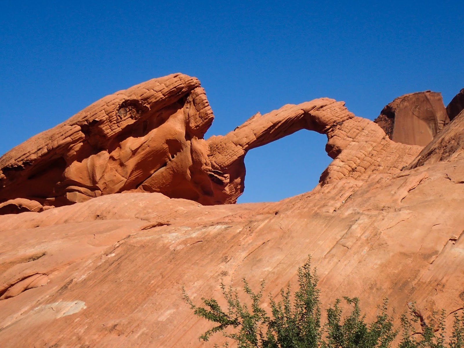
After breakfast, we take a short hike into the walk-in camping area at the end of the main campground. It offers some very nice campsites featuring a great rock arch in exchange for a short walk from your vehicle.
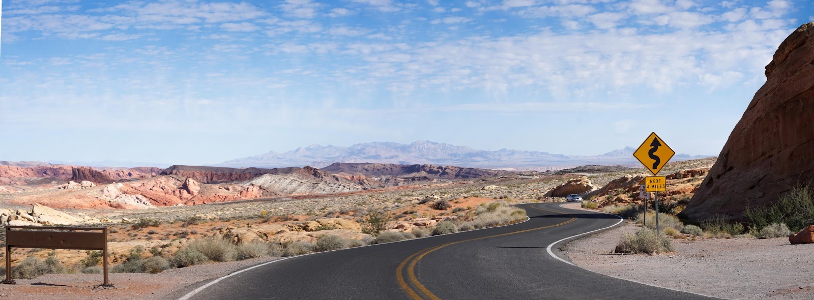
We then pick up our camp and drive up White Domes Road to see what else the park has to offer.
 |
| Overlook on White Domes Road |
|
|
|
After parking in the lot at the end of the road Peter decides to take a challenging hike, while I take some time to wander around looking for some good photos.
Afterwards, we start the drive back stopping at various scenic locations along the way. Our first stop is at
Mouse's Tank. A short trail leads to the 1800's hideout of a Southern Paiute Indian named "Little Mouse" as he evaded capture after allegedly killing two prospectors. Natural basins in the rock provided pools for his drinking water next to a shelter he built. Unfortunately for Mr. Mouse, the story does not end well as he was eventually captured and hanged.
 |
| Getting closer to the tanks |
|
 |
| Hole in rock |
|
 |
| All that remains of Mouse's house |
|
By late morning busloads of tourists start flowing into the park from Las Vegas. While hiking at Mouse's Tanks we are deluged by a large group of French tourists. I surprise two women who are straggling behind the main group with my passable French pointing out a large panel of petroglyths they missed. At Rainbow Vista, we encounter more European tourists in a rented RV and an East Indian couple on a Photo Tour. I wonder why their guide has taken them to the park during the least interesting part of the day (lightning wise). Maybe it's the only time they could go?
 |
| French tour group |
|
 |
| Rented RV |
|
 |
| Photo Tour |
|
 |
| Rainbow Vista |
|
|
|
Not yet sated with exploring, we set off again on foot after leaving our truck back at camp. This time we try a different direction to see the Beehives. These rock are marked by
cross-bedding, a geological process caused by successive layers of sediment being deposited at different times.
We've had fun at Valley of Fire and hope to return when we have time for hiking back trails.
 |
| Rocks on fire at Sunset |
|
|
|