Coming off the North Rim of the Grand Canyon, we stop at
Jacob Lake Inn for a coffee break at the Jacob Lake Inn. I spot a really nice coral necklace of
heishe beads in the gift shop. I ask how much the necklace costs. Immediately the saleslady launches into a long explanation of how the necklace is made by a very famous local artist. As she's speaking, I'm thinking cha-ching! The price is going up the longer she talks and must be already well out of my price range. Sure enough, she finally gets around to telling me the price is around $6000 (ouch!).
Trying a different tactic, I ask how much would the necklace cost without the large silver and
turquoise pendant it comes with. She rolls her eyes and is aghast that I would want to destroy the artist's original design and insists the two cannot be separated. The turquoise in the pendant does not look natural to my eye and I point it out to her. This time she is doubly taken back that I would question such a famous artist's integrity. So I leave shaking my head. Turquoise is my birthstone, I do know a bit about it. Although I'm not absolutely certain if those stones were altered, I do know they didn't look natural. Buying "turquoise" in shops catering to tourists can be risky.
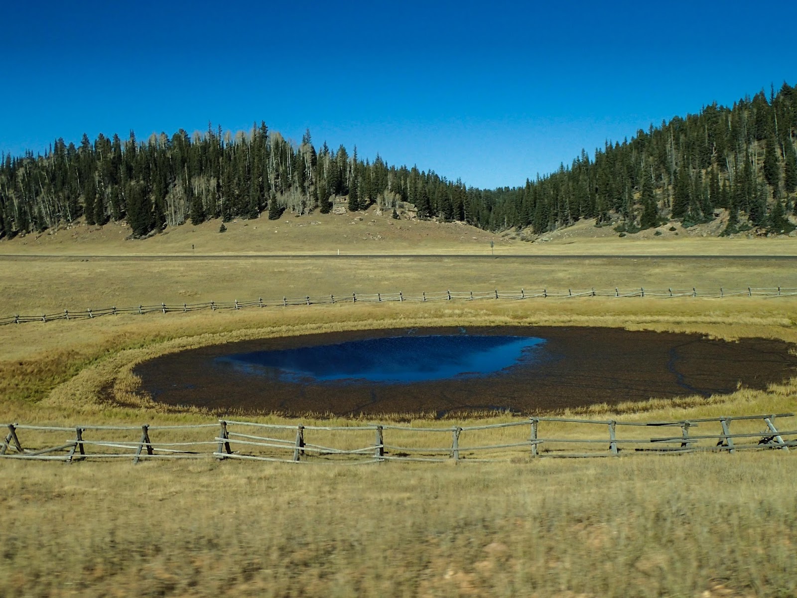
 |
| View back toward Marble Canyon. |
|
|
|
Our next stop is in Page for lunch then we drive eastward on Hwy 98 towards
Navajo National Monument. We find a really nice campsite at a great price (no charge). This is much better than trying to camp in nearby
Monument Valley.
 |
| Texas BBQ in Page |
|
 |
| Eastward on Hwy 98 |
|
 |
| Campsite at Navajo NM |
|
As we first turn off of Hwy 160 towards the campground on the access road, we see lots of cars and trucks parked alongside the road with an occasional sign saying "Buying Pinons $10/lb." When we reach the Visitor's Center we ask what's going on. The rangers tell us the local Navajo people are harvesting
pinon nuts as the
pines are carrying an especially good load this year (probably due to last year's ample rains). Since the trees only produce nuts about once every 7 years, this year's large harvest is a big deal. Looks like lots of the pinon harvesters are also staying in the campground. Some are minimal campers with just their cars and a sleeping bag tossed on the ground or thrown into the back of a pickup truck. For others, the harvest marks a generations old tradition with the Navajos. I get a kick out of one group of friendly women who are obviously enjoying the harvest and each other's company. They have a large well stocked camp with big pots of delicious smelling soups.
With our camp settled, we explore the local area. The Visitors' Center has some interesting exhibits both inside and out. One exhibit has several rocks with the imprint of dinosaur tracks. According to the sign:
"Footprints of a small dinosaur that walked on his its hind legs. About 180 million years ago, it left a lasting signature by walking through the mud. The print then filled with sediment, and both print and cast eventually turned to stone. Tracks of these three-toed Jurassic dinosaurs are very common in the limestone formations of the Navajo Country."
A Navajo ranger in the Visitors' Center tells us about a guided hike to the
Betatakin Cliff Dwelling that leaves in the morning. Again the price is right, so we sign up. There are several hiking trails leading out from the Visitors' Center that we check out in the late afternoon light. One takes us to an overlook where we can see the Betatakin Cliff Dwelling in the valley below. Betatakin is one of three ancient Pueblo dwellings in the Monument and the only one open to the public. Keet Seel can only be seen by special arrangement and Inscription House is closed to the public completely.
 |
| Valley where Betatakin Cliff Dwelling is found |
|
|
|
We settle down that night looking forward to our hike in the morning. After a good night's rest, we meet our guide Navajo Ranger Vicki along with about 20 people. Ranger Vicki gives us an initial orientation about the importance of staying on the trail and not disturbing any of the ruins or artifacts.
 |
| Sunset through the pinon pines |
|
 |
| Vicki leads us onto a closed trail |
|
 |
| with many stairs into the canyon below |
|
 |
| So far so good |
|
 |
| Through a locked gateway |
|
 |
| Water break in cave at bottom of canyon |
|
 |
| Hiking through forest on the canyon floor |
|
 |
| Fall foliage |
|
 |
| Ranger Vicki describing Betatakin |
|
Betatakin was only inhabited around 200 years starting 1000 AD to around 1250 AD which marked the general collapse of the Ancestral Puebloan (Anasazi) civilization. More recent scientific investigations have been able to pin point the explosion of a super volcano in Java ~ 1200 AD which is believed to be the cause of the deadly drought that brought Southwestern civilizations to their knees and also massive crop failures throughout Europe resulting in the deaths of at least a third of the population.
While Ranger Vicki describes how the dwellings were found and how the people lived. I fantasize what it would be like to live here during its height. Just then I wonder out loud to Ranger Vicki what they did for sanitation. She just laughed and shook her head, saying they didn't really have any sanitation to speak of. In fact, archeologists have found human
coprolites (fossilized poop) just about everywhere throughout the ruins, in the rooms, out in the fields, and on the canyon floor. Apparently, the ancient residents weren't too picky about where they did their business. Poof - so much for that fantasy.
 |
| Betatakin Cliff Dwelling |
|
|
|
 |
| Peter is able to get a closer look at the dwellings |
|
|
|
 |
| and cave paintings |
|
 |
| and petroglyphs |
|
 |
| Woman giving birth? |
|
 |
| It's such a beautiful canyon - I can see why ancient peoples settled here |
|
|
|
All too soon, the guided part of our hike is over and we wish everyone good-bye.
 |
| Back up the trail |
|
 |
| up the stairs |
|
 |
| and more stairs |
|
 |
| Whew - almost to the top |
|
 |
| Made it! |
|
 |
| Time for a nap |
|
|