We are now barreling down Interstate 80 through Wyoming following sections of the
Oregon Trail. Yes, we usually try to avoid the interstates, but nothing beats them when you want to simply get from point A to point B.
|
 |
| Fancy new yellow semi cab |
|
|
At
Rawlins, we turn north on hwy 287 and then northeast on hwy 220 which crosses the old Oregon Trail. We stop at the
Independence Rock Rest Area.
 |
| Wide open spaces in Wyoming |
|
 |
| Independence Rock Rest Area |
|
|
Independence Rock is the approximate half way point on the Oregon Trail, which connected
Independence, Missouri to the fertile
Willamette Valley in Oregon. During the great westward migration from about 1830 to 1869, approximately 400,000 people went west using a collection of trails (
Oregon Trail,
California Trail,
Mormon Trail, and
Bozeman Trail). This journey was long and arduous - some came on horseback, some in wagons, some on foot dragging carts with their worldly possessions. Not all made to their destination. It's estimated that at least 35,000 died on the Oregon Trail alone. Most of these deaths were from illness and not by the hands of the native Indian tribes as the Hollywood movies would have you believe.
Dysentery was the main killer especially in the later years as the once pristine river waters became polluted from previous wagon trains.
The significance of arriving at Independence Rock by July 4 meant travelers were likely to make it through the mountain passes before the snowfall and avoiding getting trapped in a struggle for survival as with the
Donner Party. Emigrants congregated around Independence Rock for a major party on July 4 with many celebrating by carving their names on this enormous granite outcrop.
 |
| Independence Rock |
|
 |
| Memorial of names carved into the rock |
|
 |
| Pathway around Independence Rock |
|
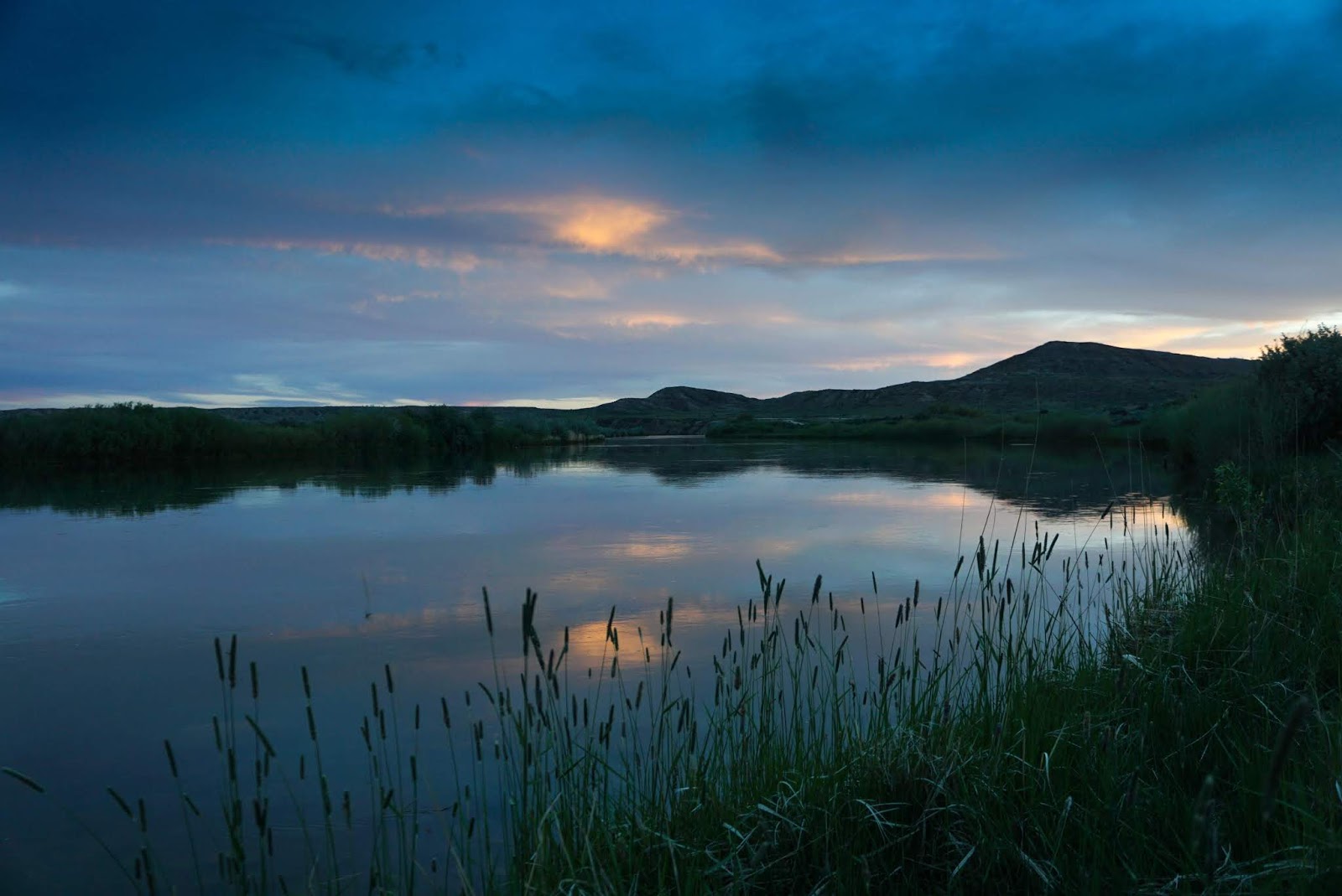
Not far away, we find a wonderful campsite along the
Platte River in
Chalk Bluffs BLM campground. We wonder if this campground was used by the wagon trains as we set up our own camp. Relaxing around our new camp, we see deer browsing across the river and birds flying overhead. We try to imagine what this camp was like during the first wave of wagon trains, when the game was plentiful and large flocks of birds darkened the skies. These early travelers must of thought they had stumbled upon a Garden of Eden.
As the sun starts to set, the light turns the Platte into a magical place.
In the morning, we discover we had similar vivid dreams. I was with the women on a wagon train fixing dinner with the other women and keeping an eye on the children. Peter dreamed he was with the men tending to the animals and making repairs to the wagons.We were amazed at our shared simultaneous dreams. Then we spotted a marker at old wagon tracks still visible after over a hundred years. The spirit of the Oregon Trail is strong at this campsite.
|
 |
| Oregon Trail wagon tracks |
|
 |
| Fly fishermen catching and releasing some beauties |
|
So of course we have to stop at the
National Historic Trails Interpretive Center which sits on a bluff above
Casper WY. First we investigate a
Prairie Schooner (the most common
covered wagon used on the trails), an
Indian teepee, and a
Pony Express Office all of which are on the grounds by the entrance.
|
 |
| Modern teepee |
|
 |
| Pony Express Office |
|
Also by the entrance is patch of reclaimed natural prairie grasses and wildflowers. These beautiful wildflowers were often mentioned in the diaries of the emigrants, who gathered them for weddings and funerals.
 |
| Prairie grasses and wildflowers |
|
 |
| Entrance to National Historic Trails Interpretative Center |
|
|
 |
| Native grizzly claw necklace |
|
 |
| Exhibit showing oxen and covered wagon |
|
 |
| Ride across Platte River inside wagon |
|
In the mere 18 months of its existence (1860-1861), the
Pony Express offered the fastest mail service from the Atlantic to the Pacific coasts in only 10 days. In our current days of electronic and over-night express, 10 days seems like forever, but this was before the
transcontinental telegraph or
railroad was completed. Stations were placed about 10 miles apart, so riders could switch horses and get a quick rest before galloping off again. Each rider averaged around 75 miles a day. It was grueling work, but the pay of $100/month versus $1/day for manual labor attracted the country's best riders including William Cody (aka
Buffalo Bill).
 |
| Pony express rider on galloping horse |
|
 |
| Specialized mail pouch/saddle called a mochila |
|
|
 |
| Illustrated Map of Pony Express Route in 1860 by William Henry Jackson - Courtesy the Library of Congress |
We have come a long way from the days of covered wagons and the pony express. Both were replaced by railroads and telegraphs. While the railroads remain, the pace of transportation and communication has leaped ahead - far ahead with electrons moving faster than a speeding bullet. Yes, these modern conveniences are great to have, but I still wonder what the west was like with abundant wildlife and flocks of birds that blacken the skies.