Sunday, July 24, 2011

Northwest Adventure

Itinerary


  1. A = start Corralitos, CA
  2. B = Bodega Bay
  3. C = Caspar Beach on Mendocino Coast, CA
  4. D = Azalea Glen by Patrick's Point, CA
  5. E = Harris Beach, OR
  6. F = Belknap Hot Springs, OR
  7. G = Grayland Beach, WA
  8. H = Sol Duc Hot Springs, WA
  9. I = Victoria, B.C. Canada
  10. J = San Juan Island, WA
  11. K= Mount Saint Helen, WA
  12. L = Eugene, OR
  13. M = Mount Shasta, CA
  14. N = end Corralitos, CA
TIP - Ferry Reservations: Several years ago on a long camping adventure with Peter and the kids, we discovered the hard way we could no longer easily drive in to any camping area and expect a site.  Reservations are needed, especially in the summer going up the popular coastal route.

In the process or preparing for this trip, I discovered ferry reservations can be tricky. Moun At least 3-4 different ferry lines operate in and around Puget Sound and the Inside Passage from two different countries (US and Canada) and three states/providences (WA, B.C., and Alaska).  It's confusing flipping between the various schedules and rates.

A good shortcut is to just ask Google Maps for directions how to get from point A to point B.  It'll direct to the correct ferry line and their docks.

However, Google won't make the reservations.  The ferry line website can be used to buy tickets online.

Here's our new home entertainment system:

Friday, July 22, 2011

Tioga Pass

Tioga Pass (el. 9,943 ft. / 3,031 m.) is a mountain pass in the Sierra Nevada mountains of California. State Route 120 runs through it, and serves as the eastern entry point for Yosemite National Park. It is the highest highway pass in California and in the Sierra Nevada.

The Sierras loom large from the Eastern side


Entrance to Yosemite


Tuolumne Meadows Swamp


Ode to Granite


Ode to Water

Bridal Veil Falls
and the Merced River

Classic Bridal Veil

CU Bridal Veil

The water flows are so amazing this year, it's easy to see why several people have gotten too close and got swept away in the currents.

Merced River at HIGH water

Bridgeport 4th of July Parade

This parade gets a BIG turnout as it's a chance for all the surrounding communities to get together.

Cars lining up to come into Bridgeport

Here we are waiting for the parade to begin.

Peter, Sue, Holly, Phil

I do need to lose weight!

Self portrait


The Parade Begins


Cars
Clowns

Trucks

Local Celebrities

Smokey the Bear

Lady Liberty

Checkers & Mary's Adventure

Checkers and Mule doe in Mexican Standoff

On our first morning at the cabin on an early walk, Mary and Checkers flushed a large doe. Mary took off chasing it first up the hill. Soon the doe realized she was much bigger than Mary. The doe did a quick 180 turn and charged after Mary. Mary ran yipping back down the hill to us on the road.

Checkers then took up the chase and the doe fled back up the hill. Then again the doe turned quickly to faced Checkers head to head. For about five minutes there was a Mexican standoff with Checkers barking at the doe while she stared him down.

Then she stomped her front hooves (photo in mid stomp) several times and charged Checkers, who fled yipping down the hill back to us. The doe then disappeared back into the forest.

Those Eastern Sierra mule deer have zero tolerance for a single dog.

By the end of the trip, Mary and Checkers learned to gave chase together rather than one at a time.

We were laughing so hard at the whole incident, we thought you'd get a big kick out of the story and this photo. Peter had to max his telephoto lens to catch the standoff.

Stone's Throw Cabin

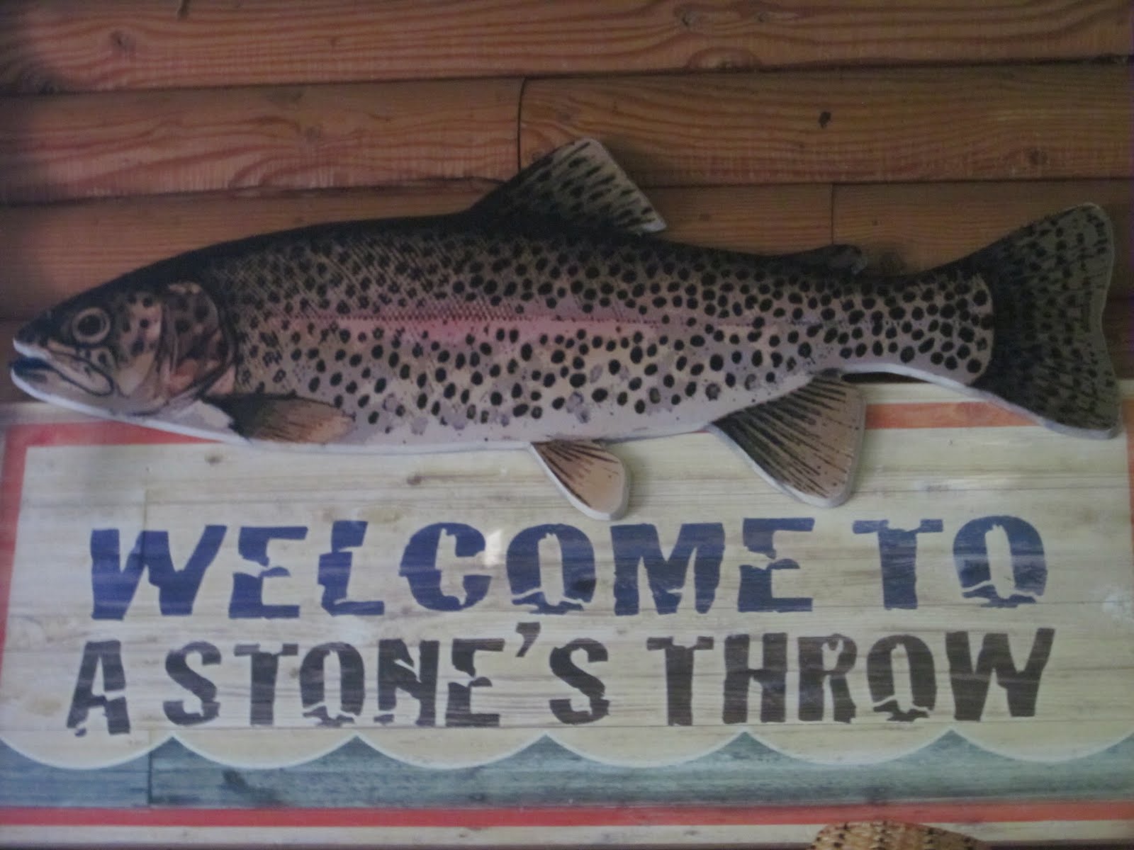
Cabin welcome sign

Vans parked below balcony
4th of July flags

Holly and Doug have the cabin decorated for 4th of July Holiday.


4th of July dessert


We settle in and enjoy cabin life and just being together.

Holly mixes drink
      

Doug takes a nap

Terrierists plan an assault


View from balcony

Morning on Lower Twin


Sonora Pass

Holly and her husband Doug invited us to their cabin at Twin Lakes on the eastern side of the Sierras, not far from Bridgeport.

Phil readies VW for trip
Sparky peeks out back window

Phil and Sue (Peter's brother/sister-in-law) drove down from Oregon and we met up at Sue's folks in San Jose.


Up and Over the Pass


Sonora Pass (el. 9624 ft. / 2933 m.) is the second-highest highway pass in the Sierra Nevada, lower by 321 ft. (about 98 m.) than Tioga Pass to the south.

It's gorgeous up here

Still lots of snow ... brrrr


At times we're not too sure if the old VW van will make it over the pass... after all, it did used to belong to their Mother in the 1970's.  We've lost count of how many times it's engine's been rebuilt.

Still chugging along


Ahhh... we've reached the source


OMG - We Made It!

Wow - it's over 9000 feet.  No wonder the VW van was wheezing.  We will probably be too at this altitude.  Hummmm.... that steep downhill grade warning sign looks ominous.

Sonora Pass Summit

After a white knuckle ride down from the top of the summit, we've finally reach more level ground.  Don't think we'll be driving this road from west to east again.  Too hard on the breaks and our nerves.


We finally make it to the cabin.

Sue and Phil flash "Winning" signs


Peter and the Puppies are POOPED !

The Way Back Home: Big Sur

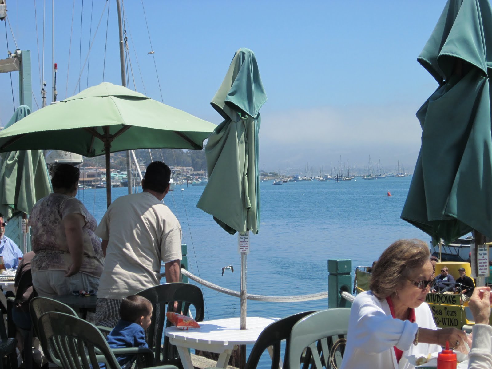
The next stop was Morro Bay (again) for a lunch of oysters by the harbor.

Morro harbor from patio of restaurant
Monster sized oysters!


Mmmmmmm.... sooooo GOOD!
Now that's a lunch!
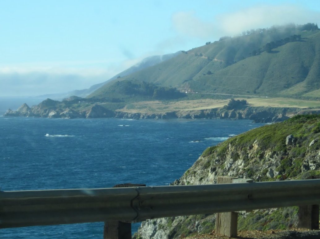
Up the Big Sur Coastline

No matter how many times we've had the chance to drive this stretch of road, it's always beautiful.  Hwy 1 had just opened two weeks before we drove it.  After seeing the remains of the some of the slides, we gained new respect for CalTrans workers. One stop was to check out Treebones Resort (looks like a great get-away).

Morning mists still not completely burned off

Nice beach - too late in day to stop

Almost to Point Sur Light House


About Me

My photo
Retired and enjoying life.