As we climb up the
Panamint Mountains out of Death Valley we are treated to a rare sprinkling of rain as well as jets buzzing low overhead practicing their maneuvers from the nearby
Naval Air Weapons Station. We turn south on Hwy 395 and then west onto 9 Mile Canyon Road, which winds its way upward to
Kennedy Meadows Campground, located on the southern part of the
Pacific Crest Trail (PCT). This campground is often used as a starting off (or ending point) for hikers. Just to confuse everybody, there is another more northern
Kennedy Meadows Campground also on the PCT. Both two campgrounds are welcome stops for hikers for mail and provisions.
|
 |
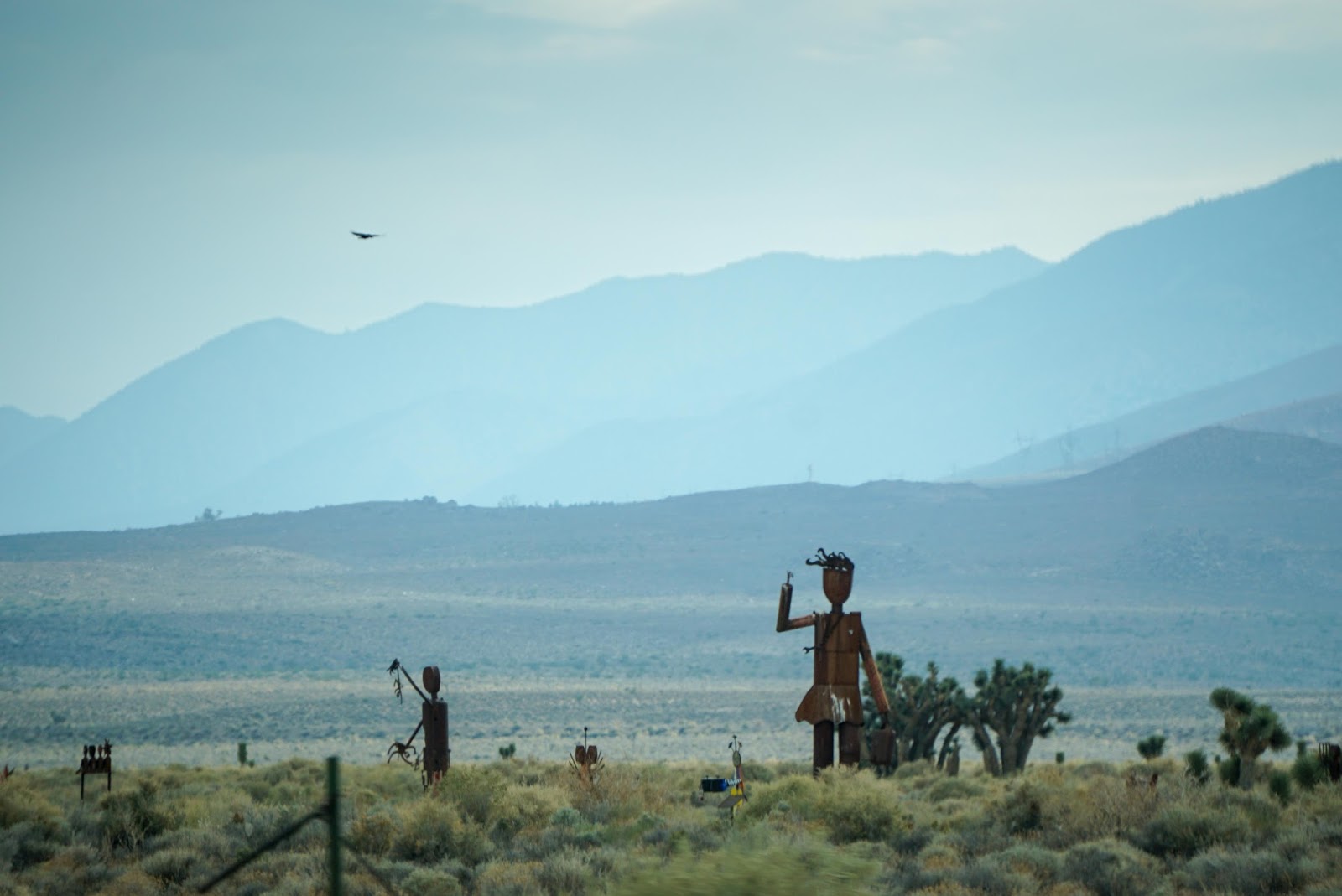
| Almost there for our night's camping |
|
|
The campground is due to close down in just a few days and we appear to be the only ones here, so we get the pick of any campsite we want. Late that night we spot a car making the rounds. At first, we believe it's some late arrivals, but as the car stays awhile in different spots our imaginations get the best of us making us nervous as to what these people are up to. Soon we realize they are just servicing the toilets. We laugh at ourselves for thinking the worst.
 |
| Last daylight on surrounding peaks |
|
 |
| Morning at our campsite |
|
|
As we leave, we stop at the
Kennedy Meadows General Store. The manager there is grateful we have stopped to pay our camping fee as it seems he sees many people trying to dodge paying. He's also glad to see just about anybody at all as the season is almost over. He tells us only one south bound hiker was in the campground besides us (guess were weren't alone after all). He estimates about 2100 PCT hikers have been through here for the 2017 season, which is several times more than the usual 500 per year before the
book and
movie Wild came out.
We ask him about the common misunderstanding by Easterners that the PCT is easier to hike than the
Appalacian Trail. He laughs and says he's also heard that one before. This misconception comes from the fact the AT does have more altitude gain overall than the PCT, because hikers are constantly going up and down several hills each day before reaching camp. On the PCT hikers go up and down one high mountain pass each day. What they don't realize is the Sierras are much higher and more rugged than anything on the AT. Ahhh - mystery solved.
We get back on the road, which is now called
Sherman Pass heading west towards home. Sherman Pass runs through both the
Sequoia National Forest and
Sequoia National Monument. It's a beautiful road without many other vehicles, but also very narrow with sharp curves. We can easily see why it's the least traveled pass over the Sierras.
 |
| View at the top of Sherman Pass |
|
|
|
Despite being named after the mighty
Sequoia Tree, we see precious few of them from the road. Mostly we see
Ponderosa Pines. Still it's a gorgeous fall day with colorful trees and lovely waterways.
 |
| Kern River |
|
 |
| Granite outcrop |
|
 |
| Kern River |
|
 |
| Fall colors |
|
 |
| Side stream |
|
 |
| Almost out of the mountains |
|
As we near the bottom of Sherman Pass, we see evidence of forest fires, some older and one very large and recent burn that destroyed just about everything in its wake. Later we stop at the Porterville Ranger Station. Turns out the ranger at the information desk originally comes from the Hopi Mesas (small world). We tell him that we have just come from there and ask him how he ended up in Porterville. He responds that the traditional life of the Hopis is difficult often involving an hours long hike each couple of days just to haul water. Although he misses his family, he is happy to be living in a home with modern conveniences. He tells us the recent burn we drove through happened last year when a drunk drove a car over the embankment late at night after the bars closed. The car burst into flames immediately killing the driver and sparking the forest fire. It happened late in the dry season with high down-slopping winds whipping the fire up into a blasting inferno. It was a beast to put out and was only eventually tamed by the advent of the rainy season.
We also ask him about not seeing many sequoia trees. He laughs and says they are mostly only in several well known groves. In fact, he shows us a map of the area which has every sequoia tree marked. Of course we buy it immediately after thanking him for so freely sharing his knowledge.
 |
| The remains of a nasty Kern fire |
|
 |
| Older burn at peaks |
|
 |
| In many places, all that's left is rocks and ash |
|
It's only a few hours drive to home and we are soon driving over the golden hills signaling the beginnings of the Coastal Range.


thanks for the write up. i know what you mean about the military jets in death valley. quite rude in my opinion to have fighter jets spoiling the peace and tranquility of death valley. Hwy 395 is awesome from start to finish. aloha.
ReplyDeleteThey seemed to be making a special effort to keep outside the park’ s boundary, but they were flying at amazingly fast at low altitudes. Yes, they do make quite a roar as they passed overhead.
ReplyDelete